SLAMTEC Mapper M2M2 - 360° Laser Mapping Sensor (40m)
- Delivery nationwide via The Courier Guy — R150 flat, free over R2,000
- Free collection from our warehouse — address at checkout
- Secure checkout — PayFast card payment or EFT
- Questions? WhatsApp us on +1 555 318 8599
Description
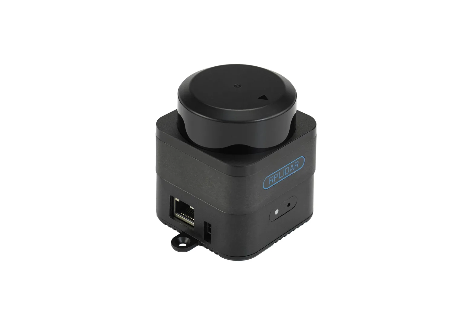
The SLAMTEC Mapper M2M2 is an all-in-one 360-degree laser mapping sensor featuring an integrated SLAM engine and a 40-metre measurement range. Operating with plug-and-play simplicity over USB power, it provides real-time localisation and high-precision mapping without requiring external coprocessors. It is ideally suited for robotics developers, university researchers, and makers building autonomous mobile robots or handheld surveying tools.
High-accuracy large-scale mapping
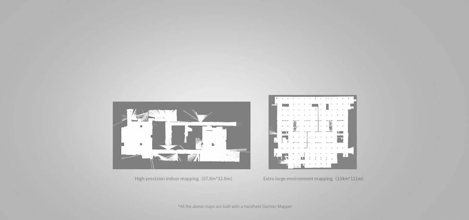
Powered by SLAMTEC's third-generation SLAM graph optimisation engine and SharpEdge mapping technology, the M2M2 actively detects closed loops and corrects map errors. It supports mapping areas up to 300 by 300 metres with a mapping resolution of 0.05 metres and accuracy within 0.02 metres.
Plug-and-play standalone operation
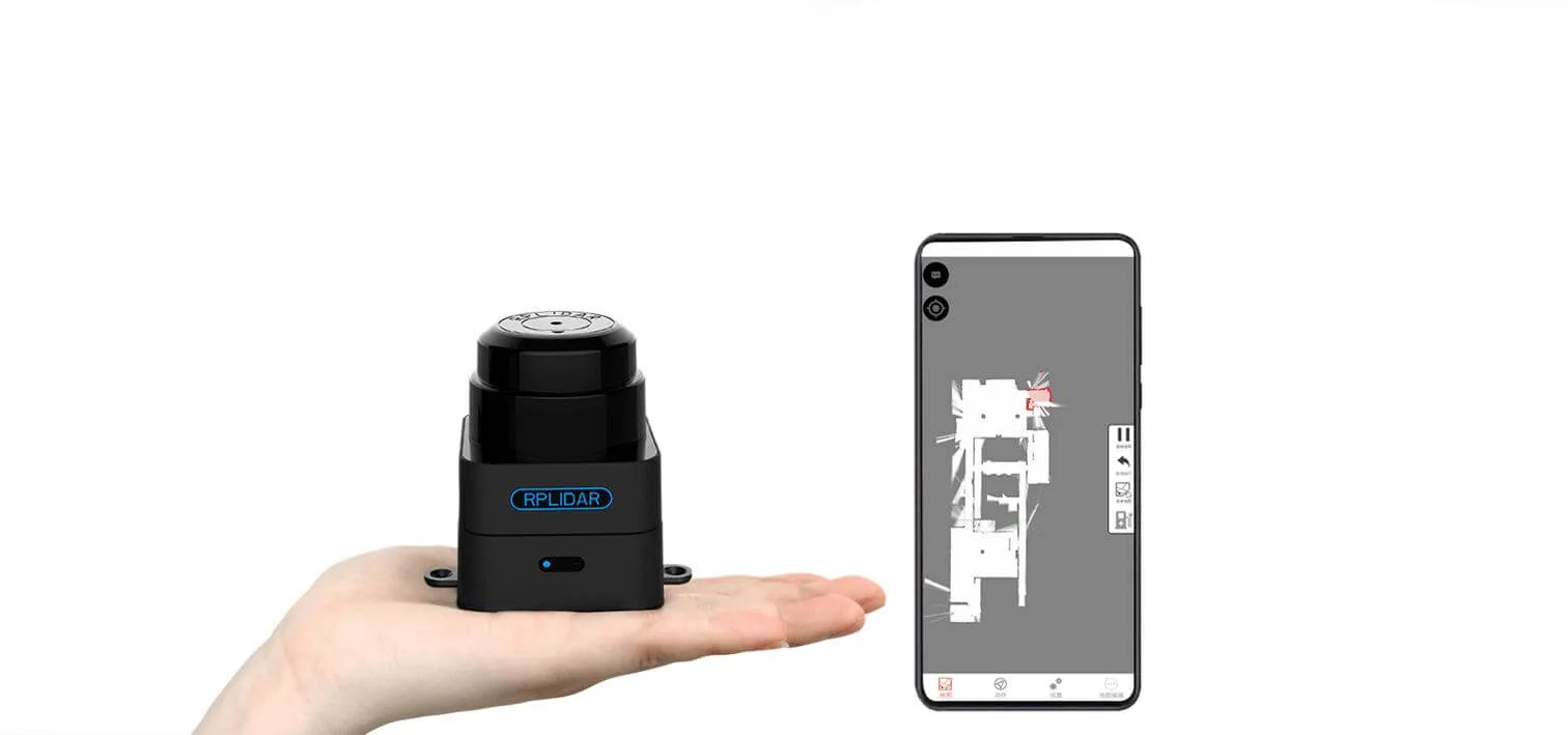
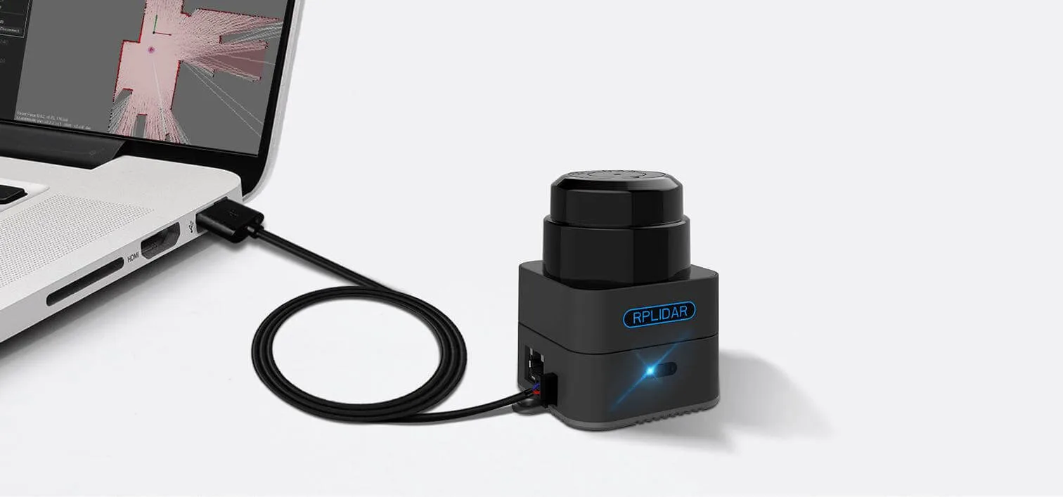
The sensor integrates map generation, real-time localisation, and navigation directly onboard without external dependencies. It requires only a standard 5V USB power connection to begin full mapping operations.
Nine-DOF tilt compensation
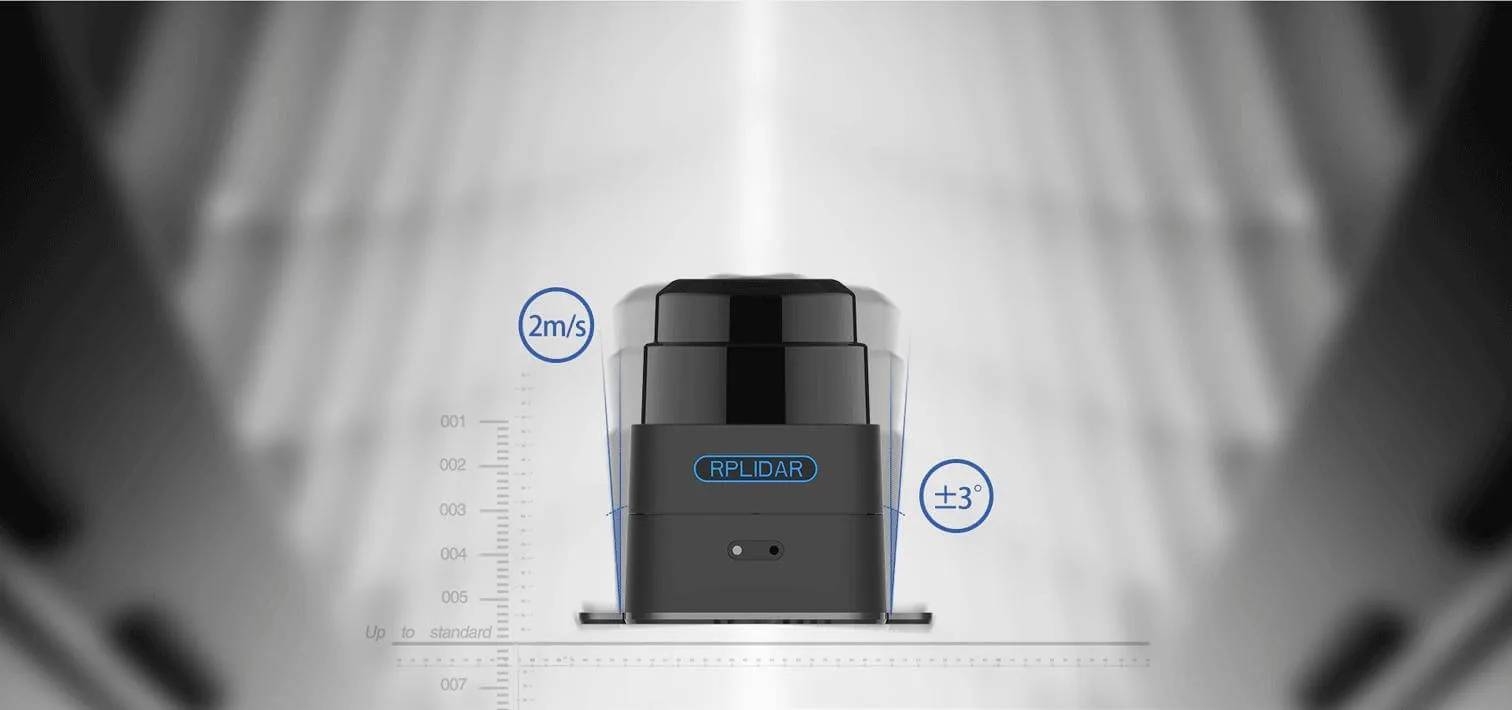
An integrated nine-degree-of-freedom inertial navigation system compensates for tilting up to 3 degrees and vibrations in handheld mode. It maintains accurate map building even when moving rapidly at speeds up to 2 metres per second.
Indoor and outdoor performance
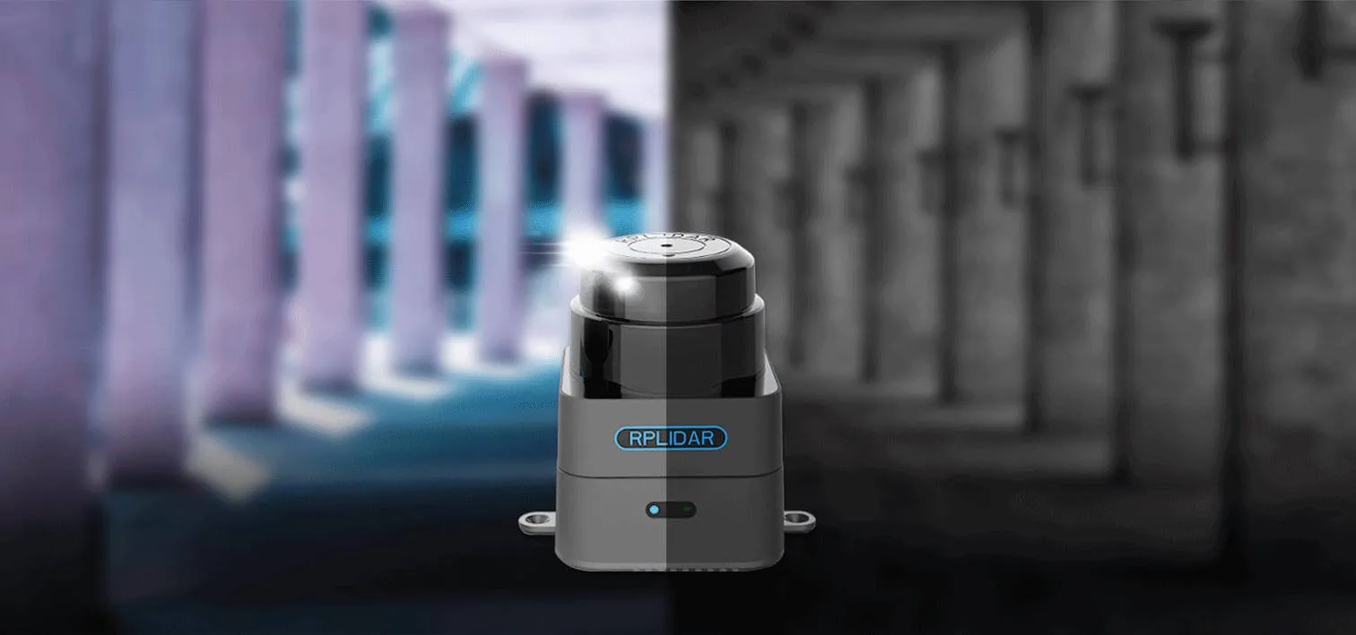
Designed for complex indoor layouts as well as outdoor environments exposed to direct daylight, the sensor provides reliable data across temperatures from -5 to 45 degrees Celsius. It offers a 0.1 to 40-metre range with a 9.2 kHz sample rate and 0.391-degree angular resolution.
ROS integration and cross-platform SDK
The M2M2 includes cross-platform development tools and SDKs for both mobile and desktop platforms. With the matching ROS driver, developers can integrate live maps and localisation coordinates directly into their ROS environments.
Dedicated laser range scanner mode
Beyond full SLAM mapping, the unit can be configured directly as a 360-degree LiDAR scanner. Raw range data is accessible at up to 10 Hz refresh rates via SDK or ROS nodes for custom robotics stacks.
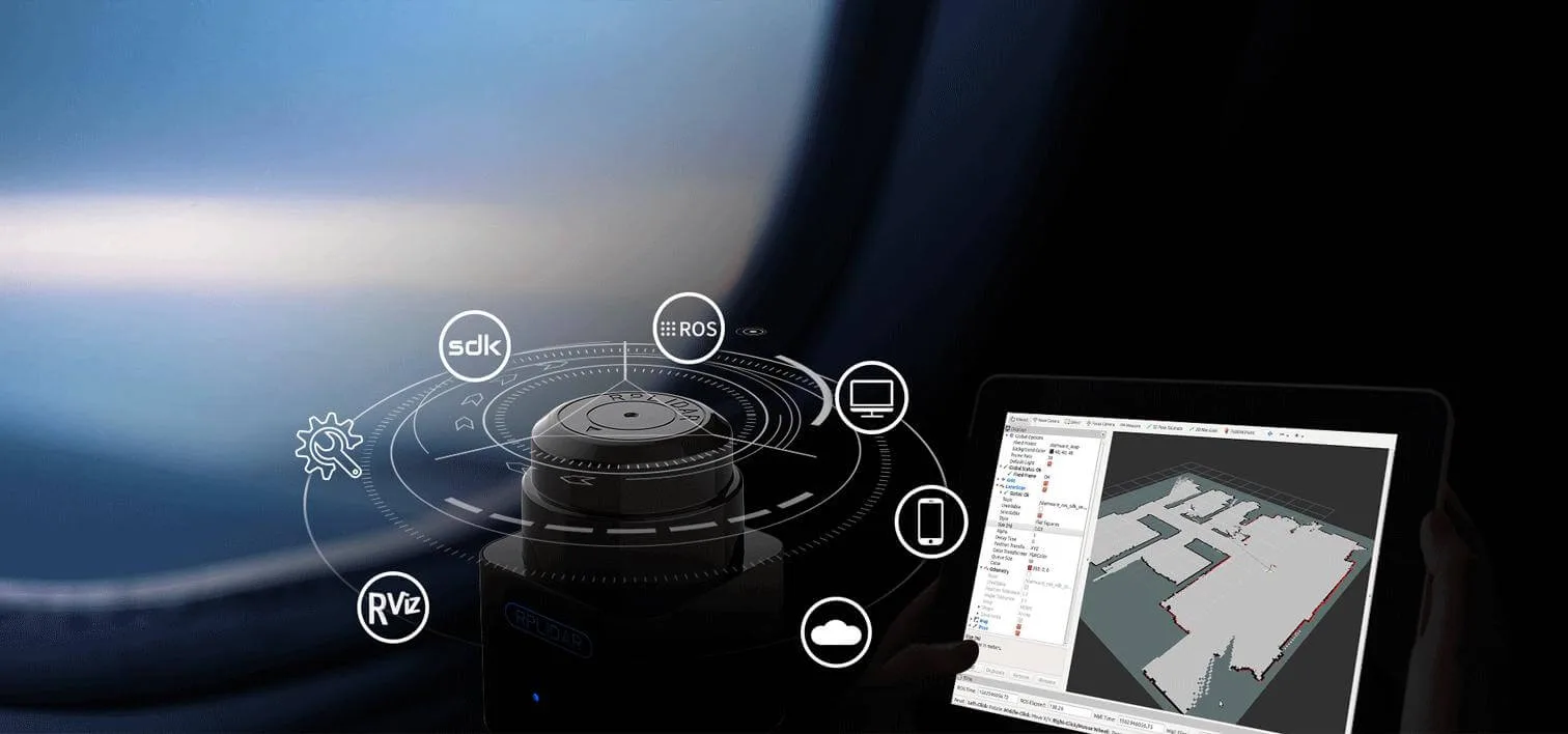
Built-in Wi-Fi and Ethernet connectivity
Featuring dual-mode Wi-Fi with access point and station modes alongside a 100M Ethernet port, the M2M2 offers versatile communication options. Real-time mapping data can be monitored wirelessly on mobile applications or piped directly over wired Ethernet.
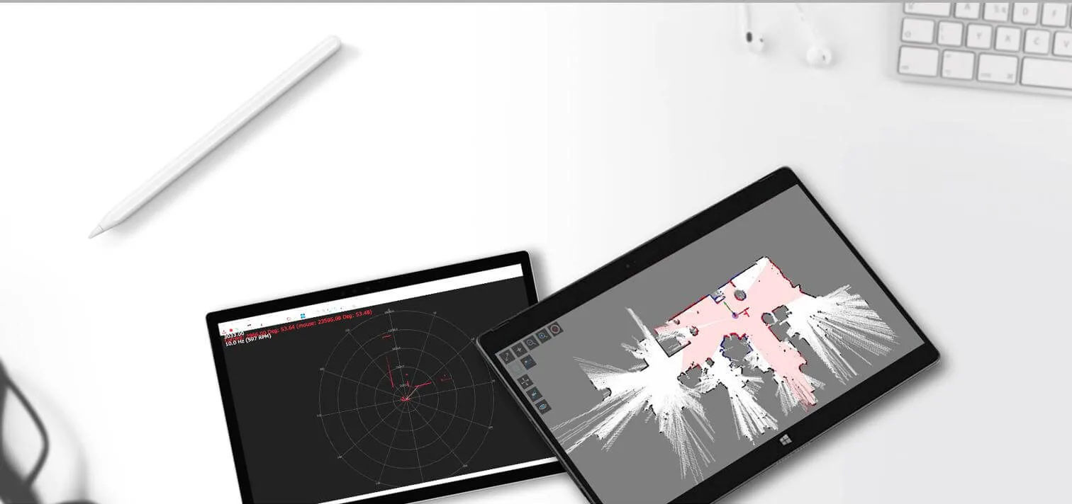
Specifications
| Model | M2M2 |
| Measuring Range | 0.1m - 40m |
| Sampling Frequency | 9.2K |
| Rotational Speed | 8Hz-15Hz |
| Angular Resolution | 0.391° |
| Motor | Brushless |
| Dimensions | 77.1 x 57 x 74.9mm |
| Weight | 165g |
| System Voltage | 5V |
| System Current | 750mA - 1300mA |
| Power Consumption | 3.75W-6.5W |
| Output Ethernet | (802.3/802.3u ) WiFi(802.11a/b/g/n/ac ) |
| Temperature Range | -5℃-45℃ |
| Angular Range | 360° |
| Range Resolution | 3cm |
| Accuracy | ≤5cm |
| Maximum Moving Speed | 2m/s |
| Frequency Of Data Refresh | 10Hz |
| Maximum Area | 300m x 300m |
| Mapping resolution | 0.05m |
| Graph Optimizing Working Time | About 1 hr |
| Maximum Inclination Angle | ±3° |
In the box
| SLAMTEC MAPPER M2M2-360°Laser Mapping Sensor | 1 |
Reviews
No reviews yet — be the first to review this product.
From the same brand
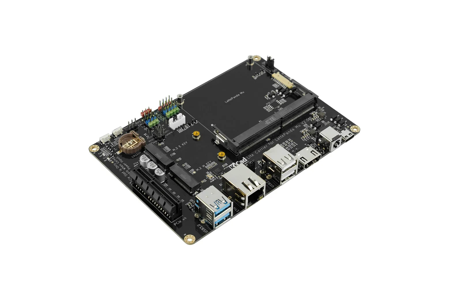
Lite Carrier Board for LattePanda Mu Compute Module (USB 3.0, Ethernet, PCIe 3.0, M.2 M key, HDMI)
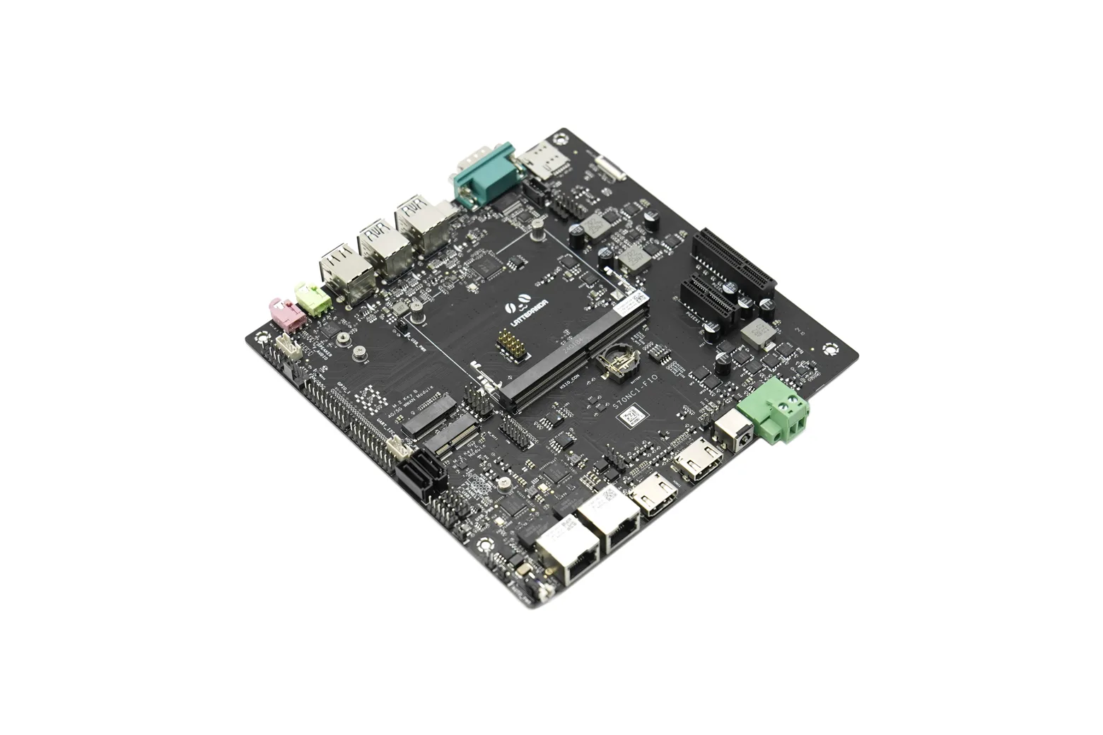
Full-Function Evaluation Carrier Board for LattePanda Mu Compute Module
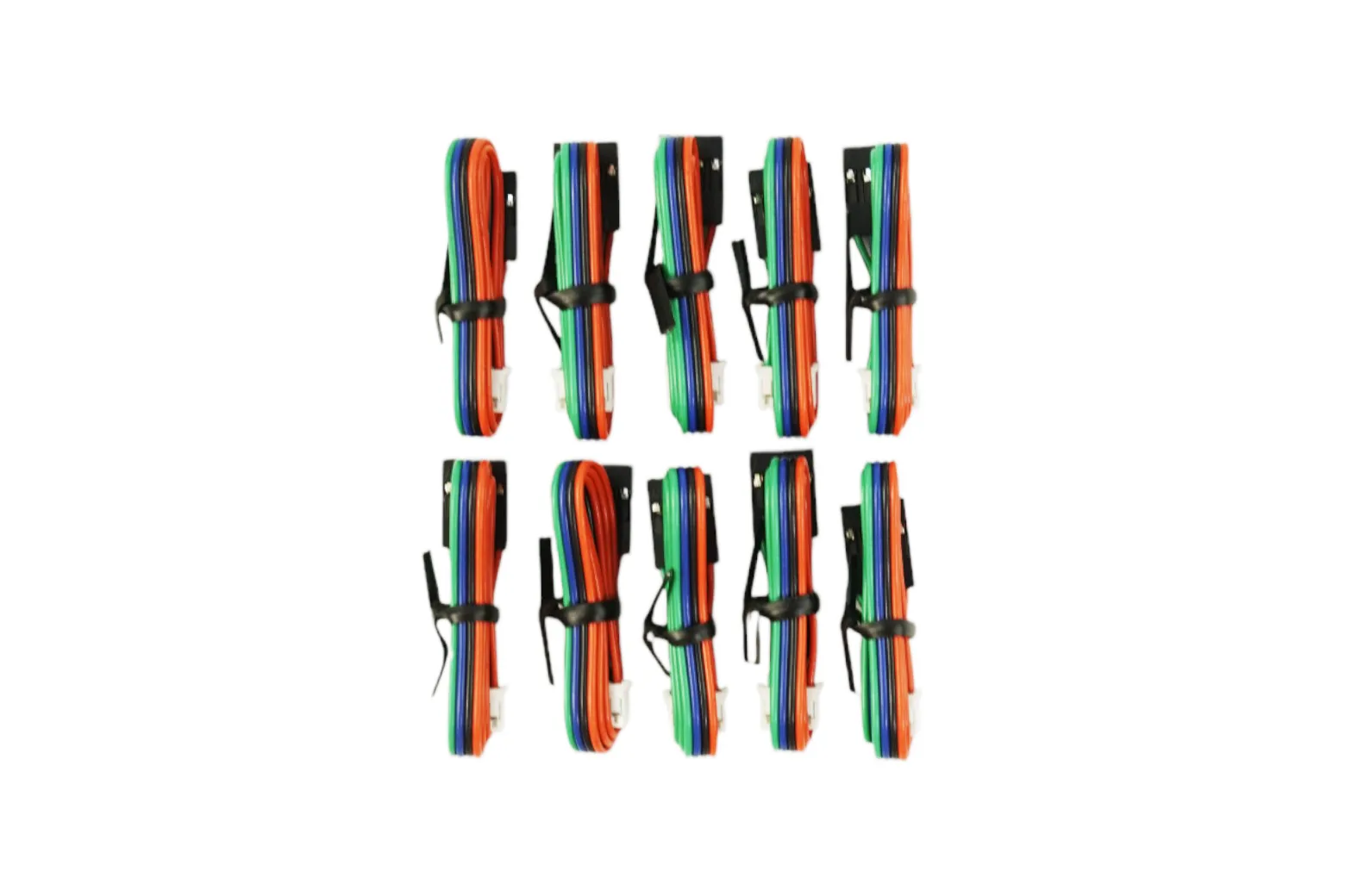
Gravity: 4Pin I2C/UART Sensor Cable (10PCS)
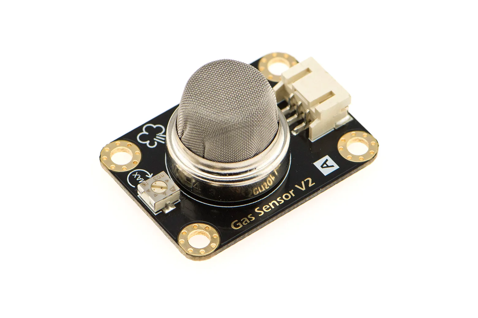
Gravity: Analog CH4 Gas Sensor (MQ4) For Arduino
You might like
830-Point Solderless Breadboard, Power Supply Module & 65pcs Jumper Wire
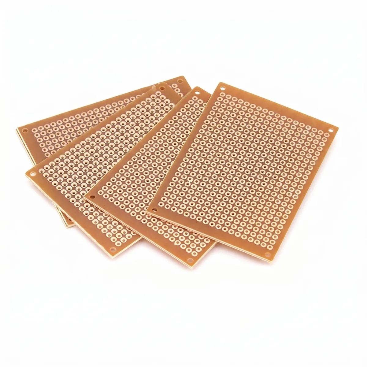
DIY Electronic Universal Circuit Matrix Board (4-Piece Pack) - 5x7cm